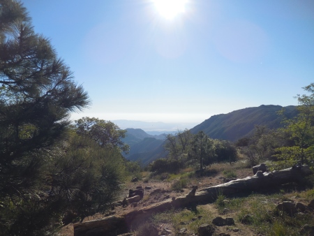
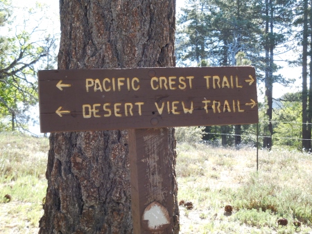
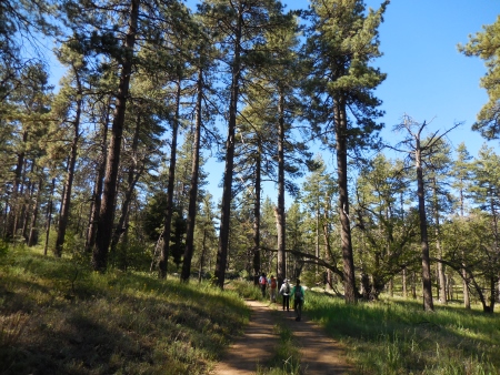
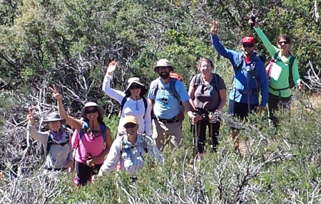
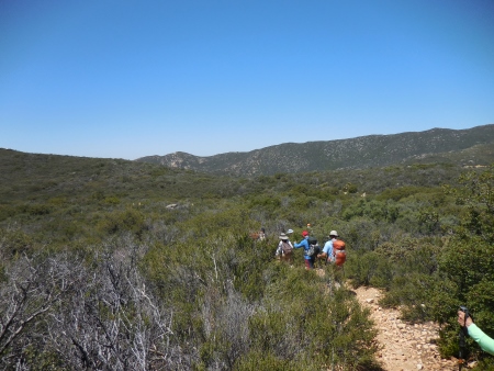
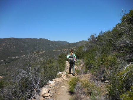
I seem to regularly be about two weeks behind in posting this (Must Get Caught Up)…It’s not the end of the world, although it may be the end of my disk space for photos. This was the next section of the PCT we hiked, from Desert View Picnic area south to Kitchen Creek Road, where we ended a few weeks ago. Here we are at the start of the hike…it was a little chilly at the start, but warmed up…

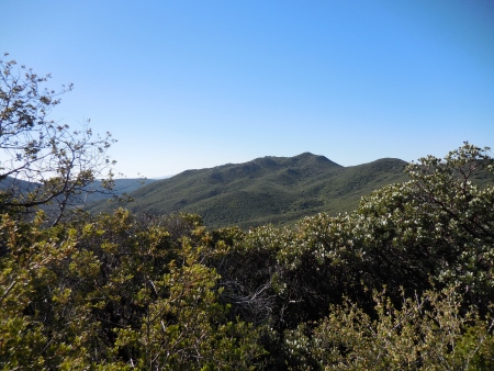
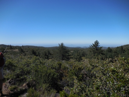
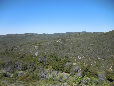
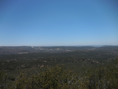
Here’s the view of the desert from the start…
This was my first trip with the new camera, PLUS I was carrying poles, so I didn’t take as many pictures. It’s hard to hold a camera and poles; in fact, I had a long conversation about the future of things like photographs (think Google Glass) and how technology would be even more integrated into our lives. I don’t have a problem with that.
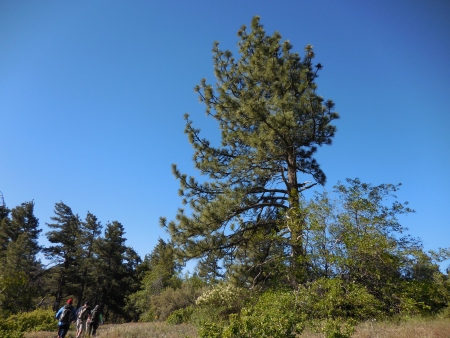
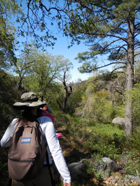
The hike started out in mostly mountain pines…
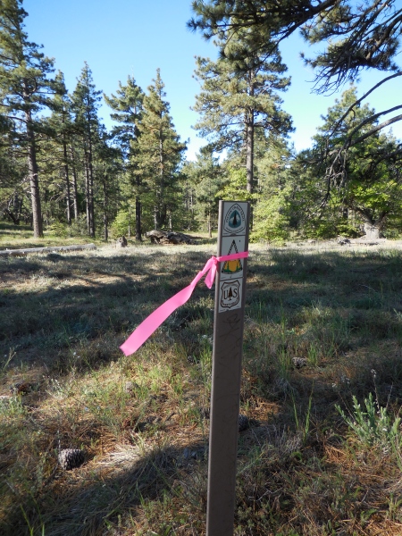
As we were hiking, we saw all these pink ties on the the bushes, trees, and PCT markers…is it Breast Cancer Day? What the heck?
We stopped here to divest ourselves of all the extra layers of clothing…it doesn’t take long to warm up when you’re hiking.
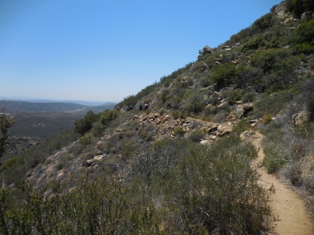
There were beautiful long vistas of the surrounding mountains as we hiked.
And then we found out what the markers were for…apparently this was the weekend of the PCT 50 mile trail run…25 miles up and back from the Boulder Oaks area, basically through all of what we were hiking today (and more). So any time you think I’m crazy for the hiking I do, just think about running the trail for 50 miles in one day.

It ended up being kind of a pain in the ass, because we (were nice and) had to get off the trail for the runners. So that seemed to slow us down (except it didn’t…it just meant we didn’t stop much to rest). There were at least 168 runners (we know that because we saw number 1 and number 168)…we applauded them, encouraged them. But it made for a very choppy hike for this section of it. Eventually we got past them all…or they got past us…or something.
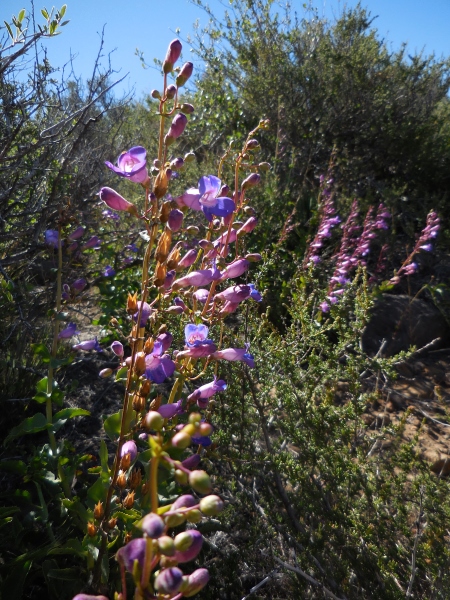
Like I said, beautiful mountain trail…this is past the Burnt Rancheria section I think. According to our fearless leader, this is an area of the forest with a beautiful landscape of trees and wildflowers. From here, we passed through Horse Meadows and down to Long Canyon, where we hiked through another shady area lined with trees and passed by Long Canyon Creek. Then we descended around Fred Canyon and down to the Kitchen Creek Road endpoint. I wish I could tell you from my photos where all that happened (I am not remembering a creek…sorry), but I can’t. But I think this is the trees and wildflowers part.
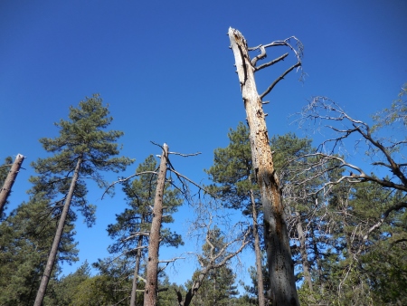
This part of the Lagunas doesn’t have a lot of fire damage, which is nice.
Apparently I’m not in the mood to raise my arm…
This was not a physically difficult hike in terms of ups and downs. I had the poles (and I’m glad I did), because it was supposed to be a loss of 2540 feet and a gain of only 553 feet, so first of all, that’s why we went north to south (more downhill) and second of all, I thought the poles would help with the downhills. In reality, none of the downhills were really difficult, but the length of the hike meant that at about the 9-mile mark, the poles helped because the downhills were really rocky and you were already tired and not picking up your feet well, so they gave you some stability. Basically, it meant I didn’t fall down. That’s probably a good thing.

I didn’t take a lot of flower photos…poles, new camera…long hike. It took my legs a while to wake up and remember how to hike.
Oh hey…this might have been Long Canyon. We stopped somewhere in here to eat lunch…we didn’t take long, though, because we knew those runners would be coming BACK, and they’d be behind us, and it would just be a pain in the butt again.
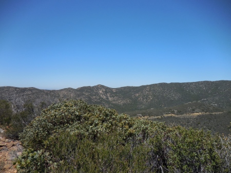
More long vistas of mountains…
The hike gets a little more desertlike out here…lots of low bushes, trees gone. Luckily, it wasn’t too hot and we had plenty of water…plus the race had fueling stations with Gatorade and water, so we could have gotten more. We didn’t see a lot of thru hikers today…they were probably trying to avoid the race.
I think that brown stripe on the mountain is Sunrise Highway? Maybe not. Can’t remember. That’s the problem with writing about it two weeks later.
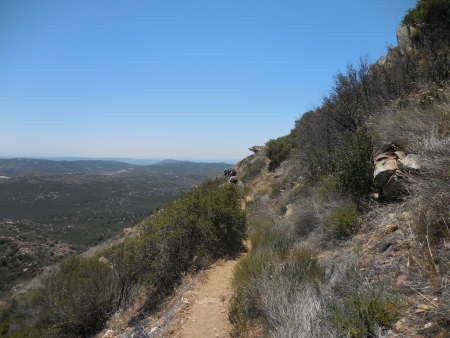
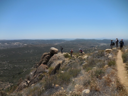
This last section of the hike was a narrow trail on the side of a mountain…this would have been a bad place to intersect with runners.
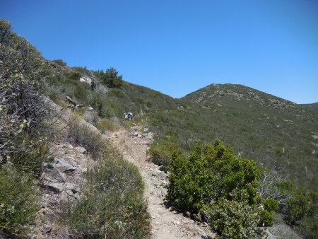
The trail is still pretty rocky at this point. I was tired on this hike.
A long view to the east, where you can see Interstate 8 heading for the desert.
More narrow trail views to the west…
You could almost see to the ocean from here…
We stopped at this rock for photos (none of which are on the site, so I can’t pull any of them…sorry)…as we were standing there, we saw the number 1 runner go by, going back towards Boulder Oaks. That motivated us to get our butts in gear, because we knew at least 167 more were coming and we didn’t know how far ahead he was…and that trail was too damn narrow to be getting over all the time, especially with runners coming from behind.
There were lots of interesting rock formations on this side of the mountains…definitely some metamorphic and volcanic action going on here…

Light on pictures this time…we did beat all the other runners back to the finish at Kitchen Creek Road (they kept going, which explains all the runners we’d seen two weeks earlier on the section from Lake Morena to Kitchen Creek…they were practicing). Number 2 came by while we were standing around at the end. We did 12.5 miles in about 5 hours. I really felt it the next day and thought, OK, there’s your limit…12.5 miles. Ha! I was wrong. But there are days when you’re tired and days when you can walk forever. This was not one of those days. It was a nice hike…although I preferred the first part of it. And as a thru hiker, going the other direction is probably kind of tiring…lots of minor climbing that you probably don’t notice until your legs start complaining. At some point, I’ll count up how many miles of the PCT I’ve done so far (not many)…

I’d really like to try hiking the PCT from Mexico to Canada – or maybe just to Oregon. I don’t know how I’d manage it – both from the logistics side and from the ability side. (Though I think the logistics would be more difficult to deal with.) This weekend I’m heading to New Mexico, and plan to get in a couple of short hikes. I can’t wait!
I love being able to see hiking posts and quilting posts on your blog. Thank you!
LikeLiked by 1 person