Sunday was supposed to be a 6 1/2-mile hike…until it mutated into a 10-mile experience…it was totally worth the muscles that are still sore two days later. We started across the street from last week’s hike. The easy way up to Cuyamaca Peak is up the fire road…but that’s always the boring way…so we started out through Azalea Glen on a trail that was apparently probably closed (whoops). Signage was confusing.
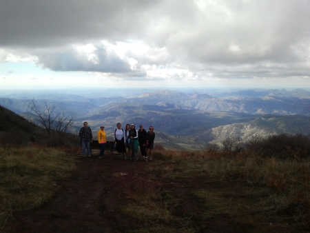
For some reason, I don’t have many pictures from the first part of the hike…probably had something to do with the 1700-foot-plus elevation gain. Here’s near the peak…small people, awesome view…
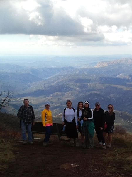
And a closeup on the people…yes some were in shorts.
They didn’t stick around for the extended dance mix at the end (goosebumps).
You can just see the radio towers at the very top.
This is at the very top…

We took a few detours on the way down for the sake of “pretty” (the extended dance mix) and saw these large pine cones…there were at least 3 varieties of pine cone…

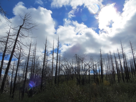
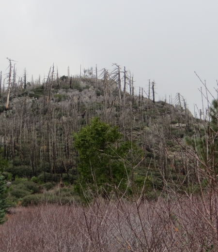
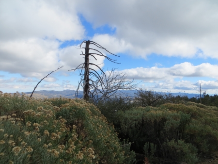
This is still fire territory, but it’s great to see the dead burned trees with all new growth surrounding them…
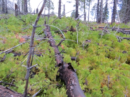
In fact, a lot of this trail, ironically called Burnt Pine, was seriously overgrown. We had to climb over some trees that had fallen while fighting thorny bushes.
All that green is new trees.
This is the view towards Cuyamaca Lake, coming down the fire road.

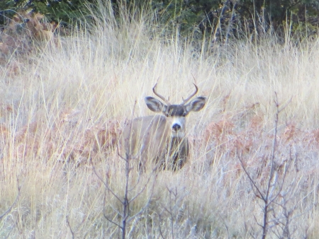
Then we detoured on another road past the creek, where we saw multiple deer…this guy kept an eye on us as his peeps ran through the meadow.
This is Stonewall Peak from the valley below, last week’s hike.

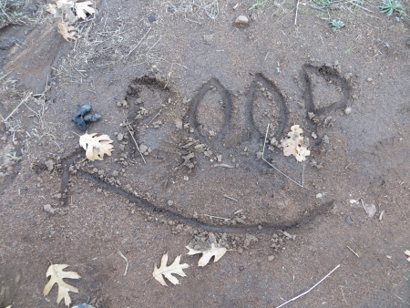
Poop. What else can I say?
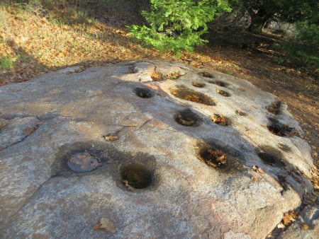
These are morteros near Paso Picacho.
The sun is going down as we get near the end, illegal paths, all blocked. We end up just picking what we think is a trail that will get us back, ignoring the signs. Bad hiking etiquette, but we couldn’t find a pattern to the signs or a reason for their existence.

10 miles, 5 hours. The peak was at 6512′. Tired? Yeah. Good hike? Yeah. It’ll be a while until the next one unfortunately. Life conspires against me.
