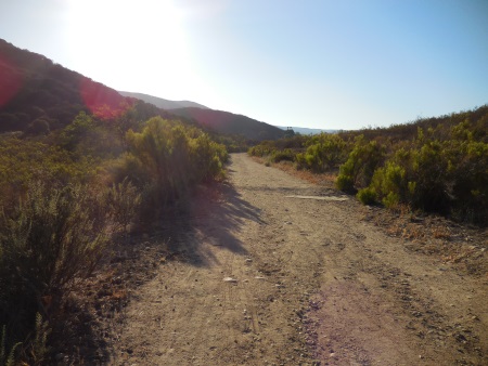
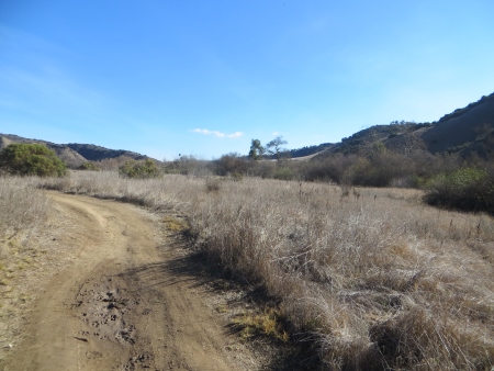
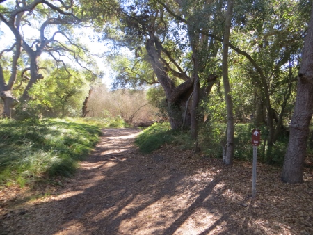
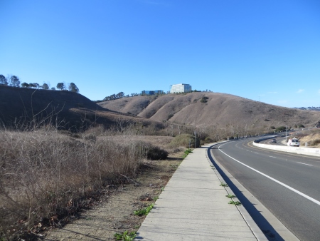
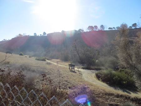
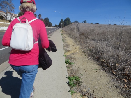
On Saturday, a beautiful day in February in San Diego, I went on what ended up being over a 10-mile hike in Los Penasquitos Canyon Preserve. We started out at the western entrance near Sorrento Valley. There is a parking lot, but it had rained Thursday and a little bit on Friday, so the lot was closed (although it had opened by the time we returned). This meant having to park in a nearby residential area…by nearby, I mean almost half a mile away…this is coming down the hill to the entrance.
You can see the start of this end of the trail, plus the trail off to Lopez Canyon, down below from the road. San Diego is full of canyons and open-space areas like this…
I’ve lived here for 25 years and still haven’t been to even half of them. It was a bright and sunny day…

This is the view of the hillsides from the parking lot. The entire preserve is surrounded by office buildings and houses, although they are fairly unobtrusive for most of the hike.

Here is a link to the website for the preserve, which includes trail maps. We hiked from the western entrance to the waterfall and then out towards the eastern entrance, where one of our members continued to her house, and then we looped back on a different trail to the parking lot.
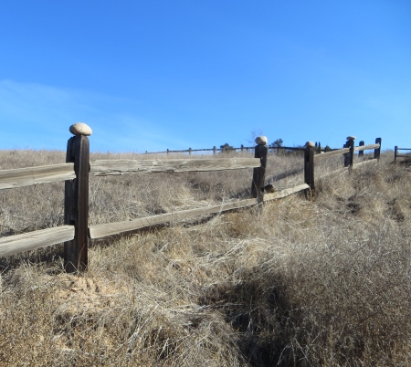
Someone had placed rocks on the fenceposts…
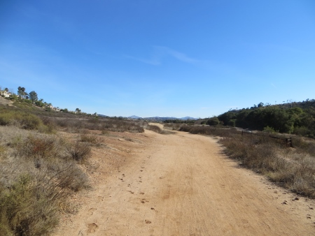
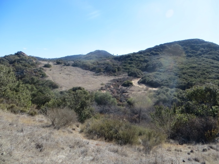
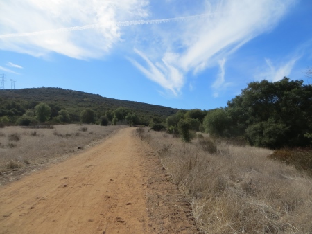
These are typical California rolling hills, very dry at the moment, as we’re in yet another drought…even with last week’s rain, there is not a lot of green popping up.
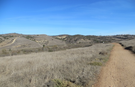
You can barely see the houses on the ridge to the right.
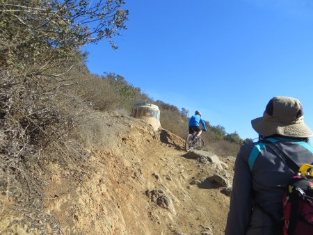
There was some mud on the trail, but mostly it was dry. We encountered lots and lots of bikers, some in huge groups of 30, and a few runners.

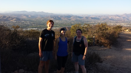
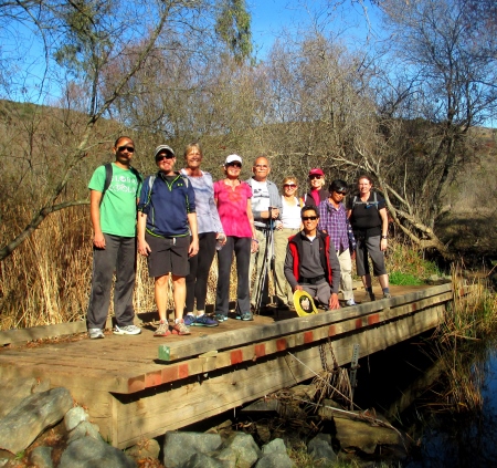
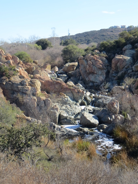
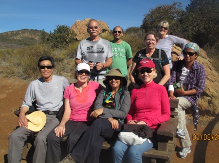
There was actually water in the preserve. Here’s the official group photo, minus the organizer, whom I’m hiked with before.

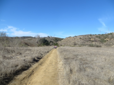
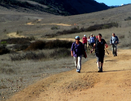
It was a very fast hike…there weren’t many hills, but the organizer was also a superfast person…you can see the rest of the group way far behind us (yes, we did stop and let them catch up occasionally).

That’s why I’m sore today…speed exertion, not hilly stuff…although there was a little of it on the way to the waterfall.

This is one of the areas where we just had to stand aside to let all the bikes go past…the trail wasn’t wide enough for both of us.

When I lived in Britain for a year, this is the landscape I missed…that brown and olive green color, rolling grassy hillsides, California live oaks, the green showing where the stream lies.
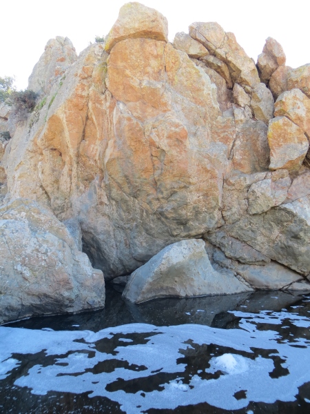
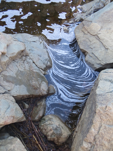
The waterfall is in volcanic rock…

Not rare in San Diego…

The foam in the water was somewhat disturbing…especially when it looked like big blobs of detergent. Gotta love that after-storm effluvium.
Another group photo above the waterfall…most of us are sweaty at this point. It wasn’t hot, high 60s, low 70s, but we weren’t moving slowly. I think I said that already.
The leader took one photo of me talking while walking. Yes. I do actually talk sometimes. I had discussions about blogging, bad job situations, negative people, colleges (I tried to avoid that one), kids, being outside in nature, SEO, website traffic, and books about the Pacific Crest Trail…this group was fairly diverse.

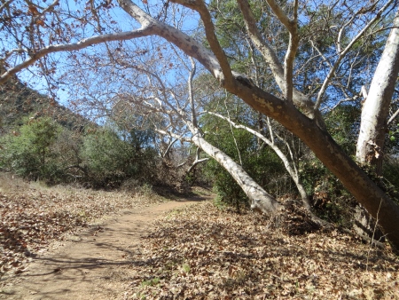
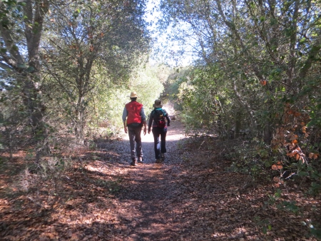
There were shady areas on the hike…this will be a hot hike come summer, but the shady bits might make it doable.
That’s one problem with Southern California, is that there are about 4-5 months of the year when certain activities like hiking aren’t particularly easy or pleasant. I think this is when normal people go to the beach. I’m trying to get in as many hikes as possible before the heat comes…I don’t do heat well.

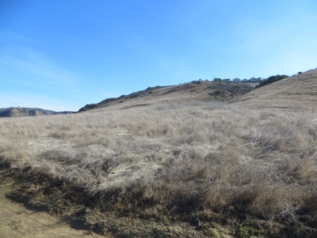
And there are lots of stretches of dry, hot, treelessness on this hike.

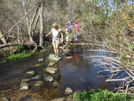
It was fine today though. We did a couple of stream crossings, some more wet than others…

I told you it was a gorgeous day, didn’t I? I took lots of deep, cleansing breaths, banishing demons from the tips of my fingertips out into the brush.

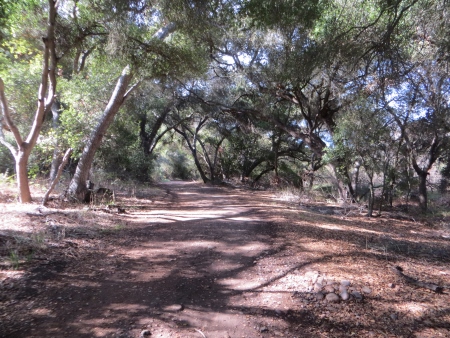
The peacefulness of these groves of sycamores and oaks was wonderful.

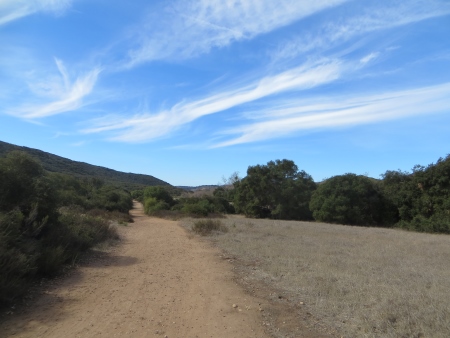
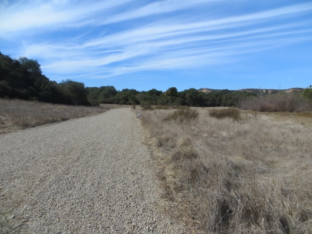
And even the vast expanse of trail and sky was soothing…
It’s even better being out front with nothing human messing with the view…
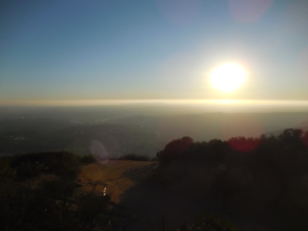
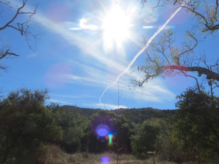
I love the sky…

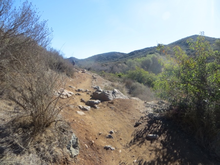
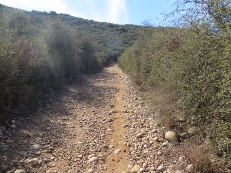
The trails were a variety of straight, wide, and flat, with some rocky bits, and some narrower rocky trails near the waterfall. Usually we could walk side-by-side, and didn’t have to go single file. You had to keep your ears open for bikes coming up behind, though.
This stretch had very few bikes…

When we finished, we still had to hike the 1/2 mile up the concrete hill to our cars, but it wasn’t too bad.
The actual hike that we did in the preserve was about 9.4 miles, and we added another 0.9 on the hike to and from cars. We did it in just over 3 hours, so pretty fast (and that included a couple of stops). It was a nice day for it. If you go look at the trail maps, you can get a better idea of all the different access points to the preserve and the mileages involved. There were lots of little kids and families out for walks or rides in the space, and many mountain bikes. There’s also a historic adobe on the preserve, although we didn’t see that on this trip. Those living in the Penasquitos area have a great resource nearby in this preserve.