Two weeks ago, I signed up for a hike I didn’t think I could finish. I had done 12.5 miles the week before, and it felt like my limit. I was significantly tired the next day, and sore too…so when I signed up for the three peaks hike (Middle, Cuyamaca, and Stonewall), I figured I would just skip the last one…the leader had set the hike up so we didn’t have to do all three.
I mapped the hike out using Map My Hike, but it did add some mileage to it…so it’s probably not exact. The leader had it at 14.4 miles, and this one is over 15…

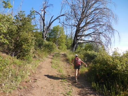
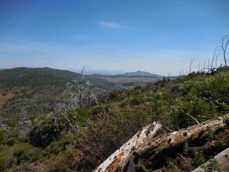
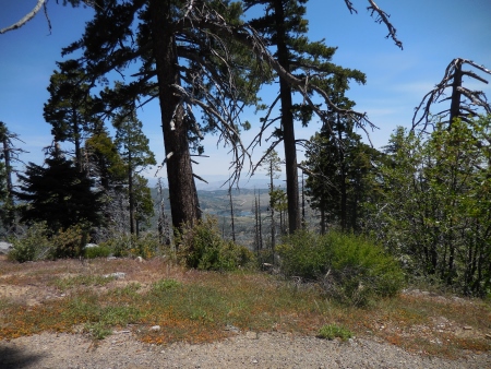
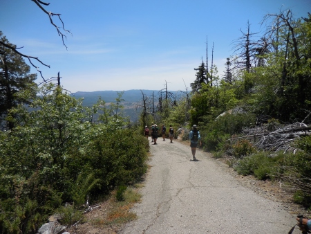
We started at the parking spot near Milk Ranch Road, heading up the switchbacks on the fire road to Middle Peak. From the parking area, here’s Stonewall Peak…

And Cuyamaca in the distance…

Here’s the fire road…it was a warm day…

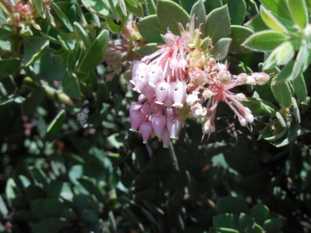
There were some flowers I hadn’t seen on previous hikes…

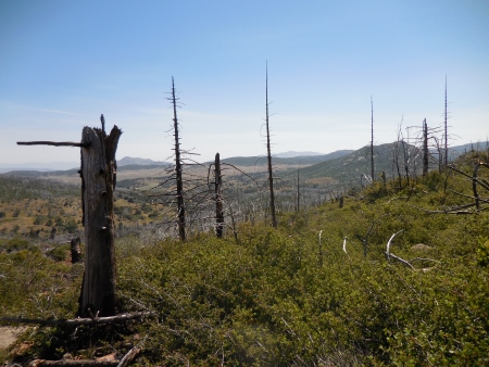
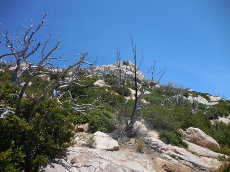
Middle Peak used to be covered with big trees, but the Cedar Fire in 2003 swept through this area in a pretty devastating way. Lots of undergrowth is coming back, but most of the trees are dead…

It wasn’t an easy climb, and this group hiked really fast…
Here’s Stonewall again from higher up the peak…you can just see our cars parked in the turn in the road.

And Stonewall again, through the burned trees. There was a good breeze all day, which was good…

More flowers…there were LOTS of these.

And dead trees…

A big fire road…

You can imagine what this might have looked like when the trees were alive. I actually hiked this area the weekend before the Cedar Fire, and then went back about two weeks after the fires…it was hard to see.
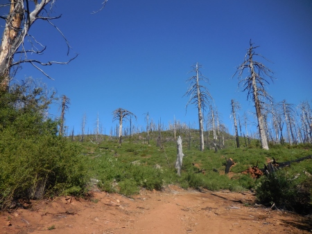
And yet, the dead trees have a fascinating presence…stark though it might be.

This is looking off towards Stonewall again, but closer to the top of Middle Peak.

There is no actual trail to this peak…you can bushwhack it if you like…
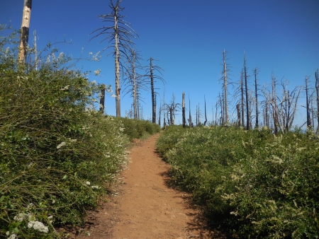
More flowers…they flourish in the full sun without trees shading them.

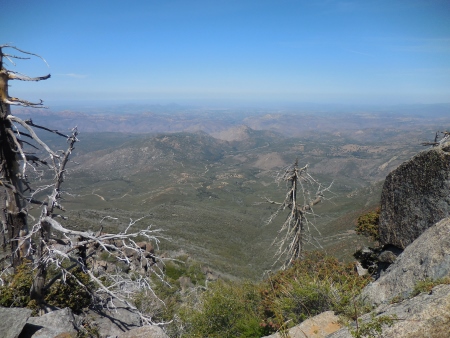
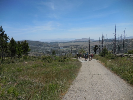
We reached the highest point of the trail, and then headed around the western side of Middle Peak…

This is the view to the west, which wouldn’t have been visible prior to October 2003…

Another view…

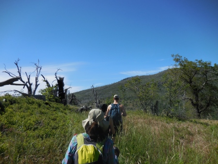
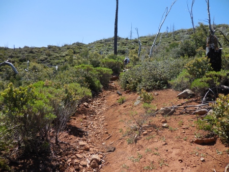
We headed south towards Cuyamaca Peak, following the Conejo Trail for most of it…
This is looking toward the east…
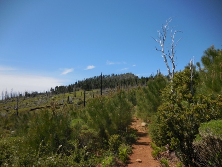
The trail was rocky now, and sometimes there were trees (some significantly large ones) over the trail…
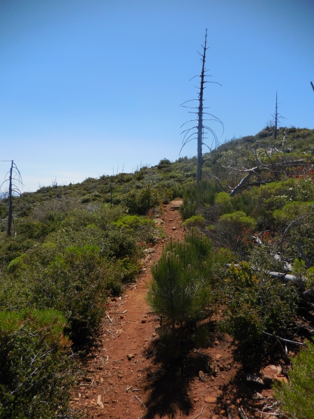
But new trees were growing by the trail…
Not sure what direction this is…maybe north?

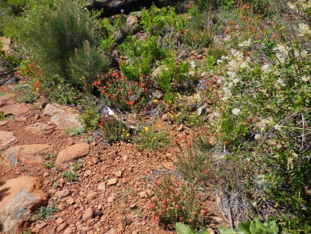
The wildflowers were everywhere on this section of trail, truly beautiful riotous color…
And long vistas of blue sky…
Even more pine trees lining the trail, close enough that you had to edge through them at times…makes you wonder what will happen to the trail as they get bigger…
It’s nice to see them growing…

This is the view of the slope looking north…once covered with trees…

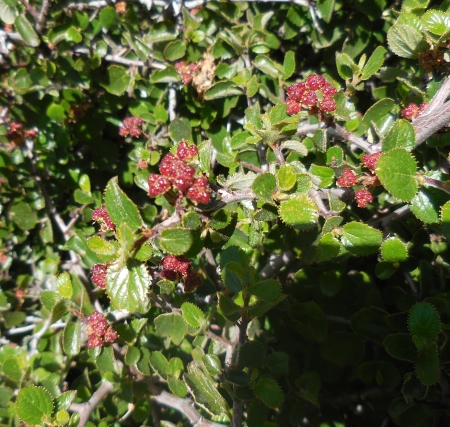
Some berries?
This is one of the smaller trees I climbed over…some required assistance, but this one was on my own…it attacked my pants…had to sew that hole up…

Pretty flowers…

This was where the Conejo Trail meets the Cuyamaca Peak fire road to the peak itself.

Looking up the fire road…
There are still some trees alive on Cuyamaca…
Here we are at the top of Cuyamaca Peak, at 6512′, the second tallest peak in San Diego County.

I was last here in November, with snow…
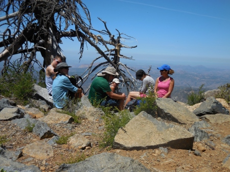
We sat and ate lunch and communed with the iridescent green beatles…
This was over where the antennas are…looks like they’re building new ones.

Flowers and butterflies live at the top…
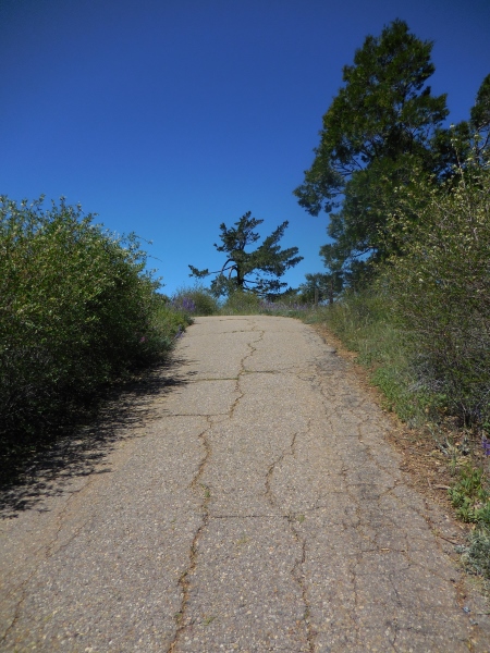
We then took the fire road down…
Down, down, down…
There’s Stonewall in the distance…the third peak on our challenge…

Still lots of dead trees…

So we got to the Paso Picacho Campground at the base of Cuyamaca and Stonewall peaks, and we rested a bit (bathrooms! with black widows!)…and it was then I had to make a decision about the last peak. Hell. I was still moving. It was hot…but it seemed lame to stop there. Some people wanted a longer rest, but I just wanted to get UP the last peak…so a few of us headed out…below you can see Cuyamaca Peak from the trail going up Stonewall, with Paso Picacho down across the road.

There’s Stonewall from below…

The hardest parts were tired legs and the heat…it was about 85 degrees at this point. I needed almost all of my 3 liters on this hike.

This is the view to the south…you can see the highway on the right side…

More dead trees…these creaked in the wind.

This trail is really hot and dry.

But beautiful flowers lined the trail…I last hiked this one in November as well…

Here’s Cuyamaca from the west trail on Stonewall…

And here’s Middle from Stonewall…

And there’s the peak I’m heading for…
These trees creaked in a very scary way…

Trees hung over the trail even up here…

Here’s the view from the top…there are steps going up to the peak and info maps up there to show you what you’re looking at…

I didn’t take a lot of pictures on the way down…we went down the back way and across some meadows with trails that were barely clear…pulling foxtails out of our shoes and socks became a regular stopping point…

At some point on a hike this long you are just trying to get done…although the meadows were very pretty…

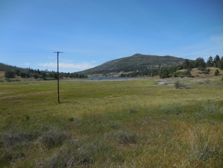
That’s the Trout Pond in the distance (notice the electrical poles…must be approaching “civilization”…
It was a long tiring hike. It was a challenge, though, and it felt good finishing the whole thing. I think it took about 7 hours total…we stopped for maybe 40 minutes total…once at the top of Cuyamaca, once in the campground, and once at the top of Stonewall. No ticks, no blisters…just sore muscles and tired body. Definitely worth the trip.
