Hiking Morena Butte

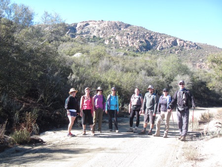
Last Saturday (like 4 days ago), I hiked Morena Butte, which overlooks Lake Morena in San Diego County’s eastern mountains. The hike starts at the Lake Morena campground in a PCT parking lot. We hiked a bit through the campground…you can see the butte rising up in the distance.

Nov 23 14 001 small

The weather was nice, although it felt a bit too warm at times, bordering on the mid-70s (when you’re climbing, that’s warm), but mostly in the high 60s.

highres_431810777 small

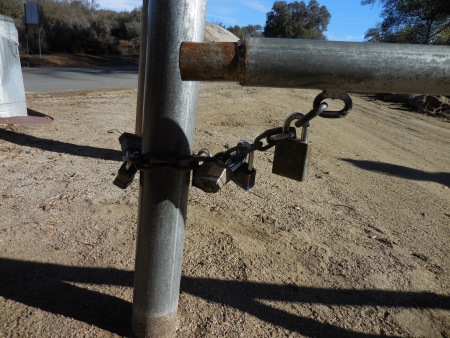
Ranchers like to use their own locks…and lots of them…

Nov 23 14 004 small

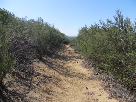
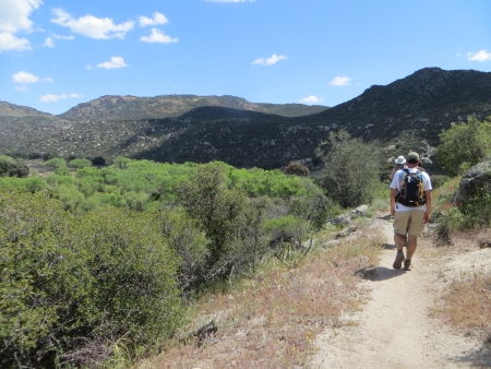
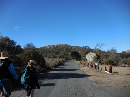
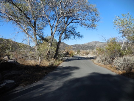
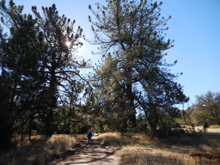
We started out on mostly road…

Nov 23 14 005 small

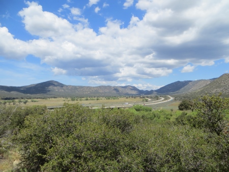
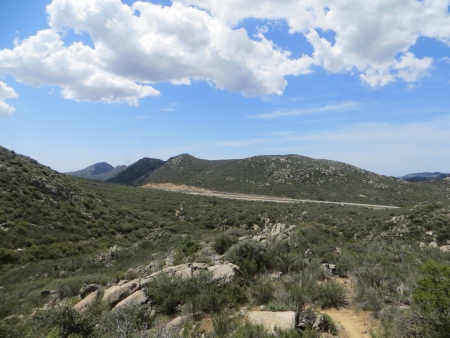
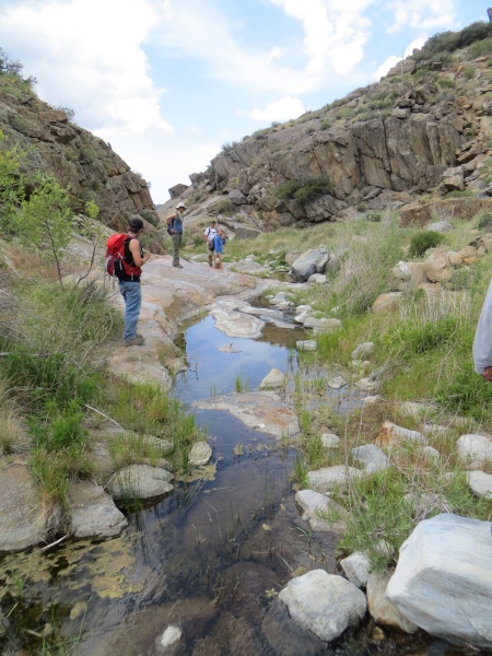
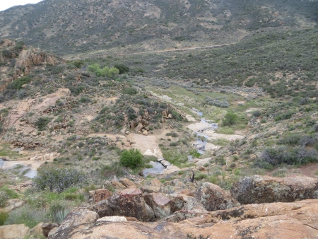
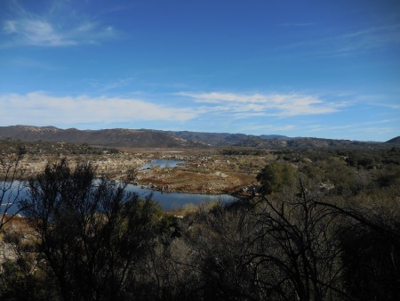
Lake Morena is suffering from the drought and has had water drained to fill reservoirs closer to San Diego for resident use, taking the lake down to 4% of what it normally has.

Nov 23 14 008 small

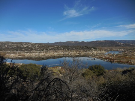
The lake is actually a manmade reservoir, but local residents are not thrilled about the hit to recreation in the area. The boat ramp seems mostly stranded and most of what was lake is now dry.

Nov 23 14 009 small

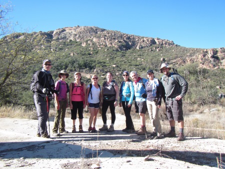
Here we are further up, still with the butte in the background. Of course, I need to look that word up. BUTTE. An isolated hill with steep sides and a relatively flat top, smaller than a mesa. I wonder what measurements they are using. In this photo, we are standing on the concrete foundation of a house, of which only a chimney and steps remain.

highres_431793347 small

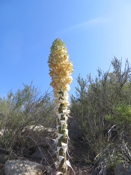
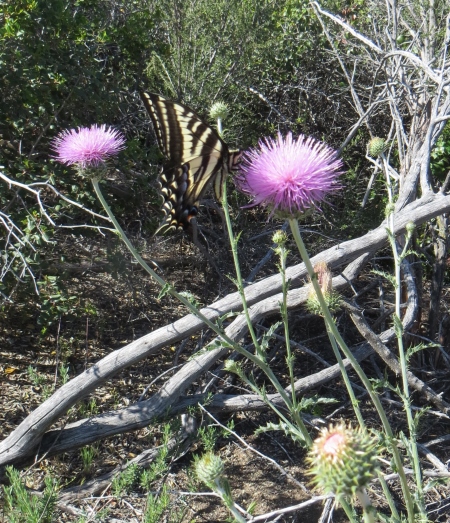
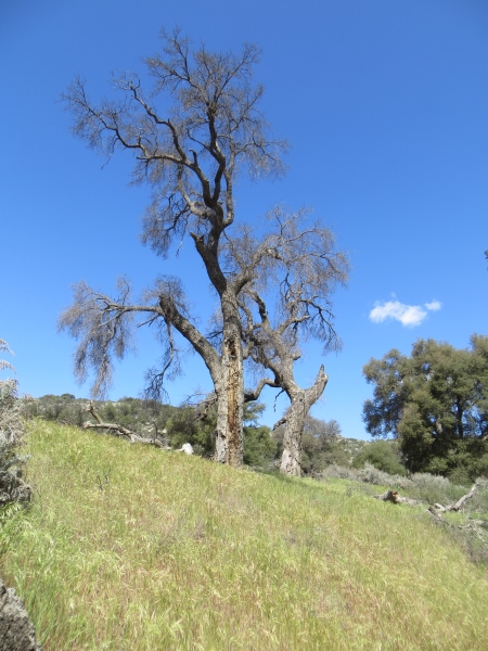
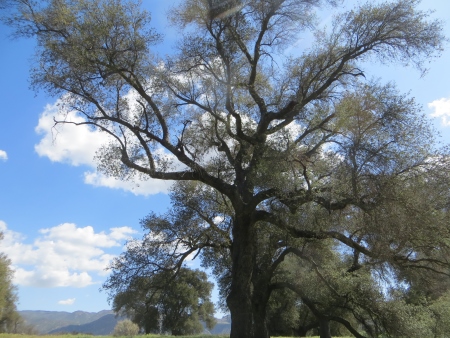
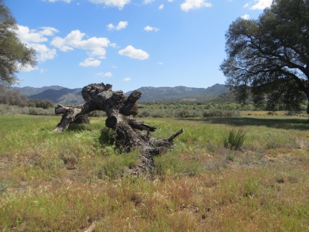
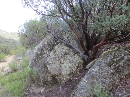
There weren’t many trees along the way…

Nov 23 14 011 small

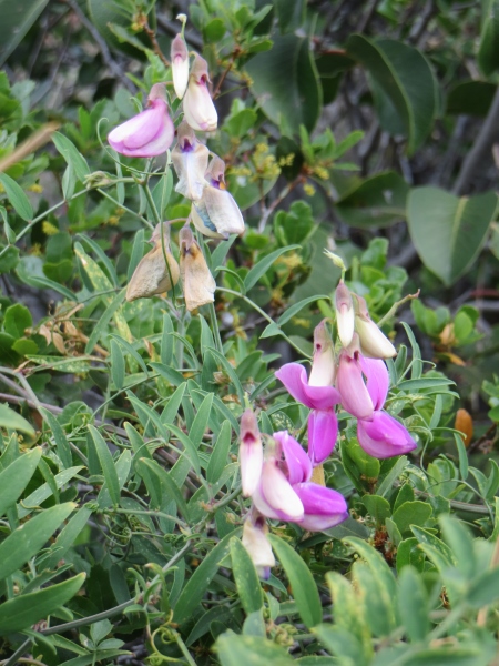
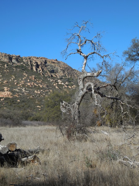
But there were a few.

Nov 23 14 015 small

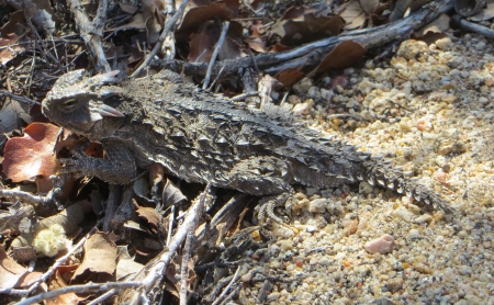
Some more alive than others.

Nov 23 14 018 small

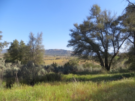
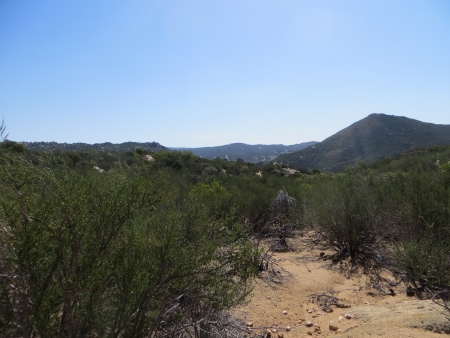
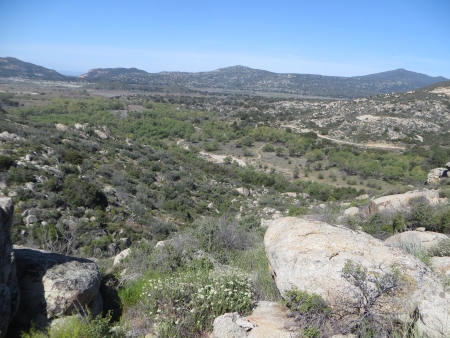
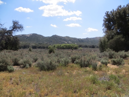
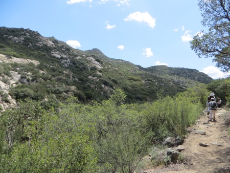
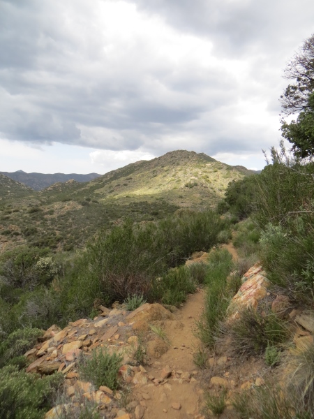
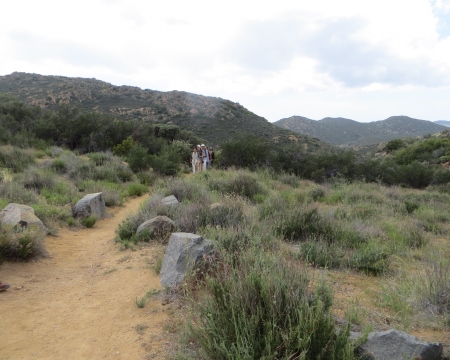
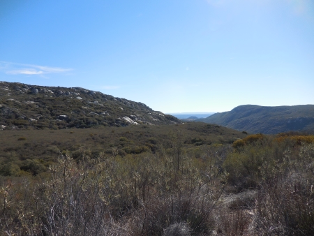
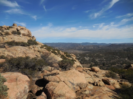
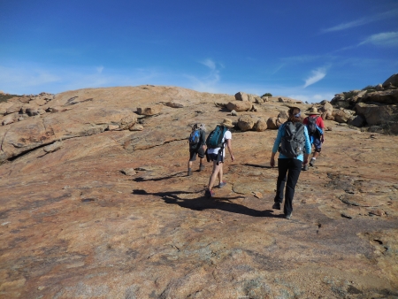
This is the view as we start to climb up towards the butte, facing south, with Mexico in the far distance.

Nov 23 14 022 small

Facing north as we climb through the brush.

Nov 23 14 026 small

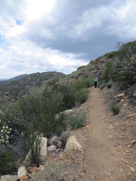
The clouds were beautiful. Although it was just a bit breezy at first, as the day went on, we got some significant wind up top on the butte. Hence the pretty cloud trails.

Nov 23 14 027 small

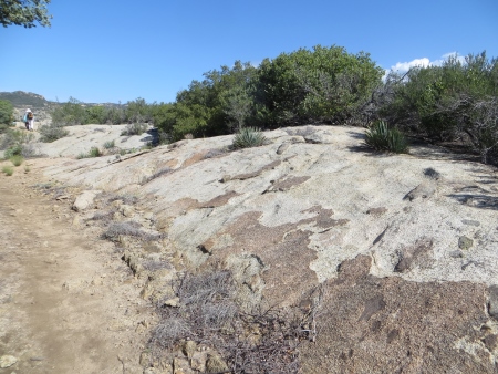
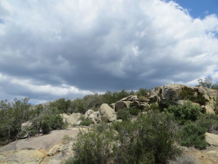
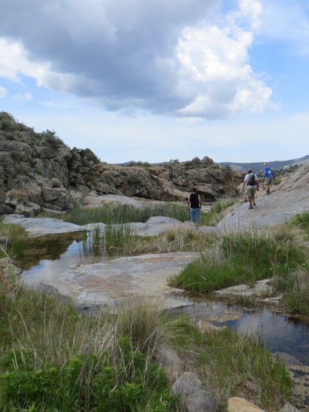
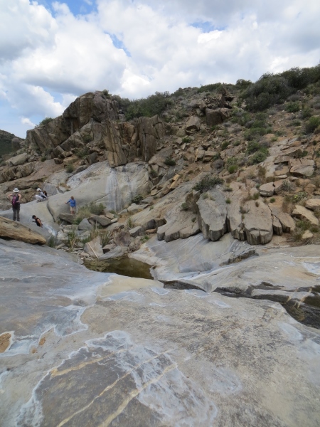
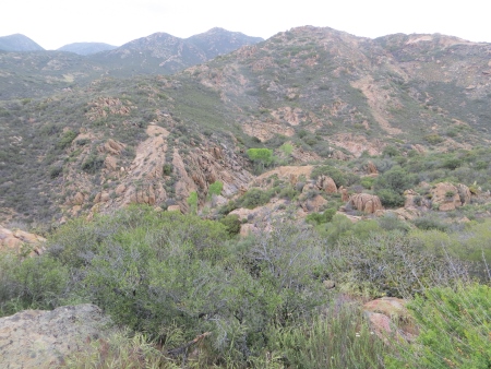
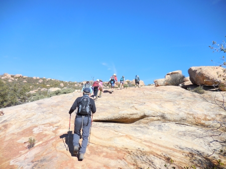
Lots of boulders and rocky terrain.

Nov 23 14 031 small

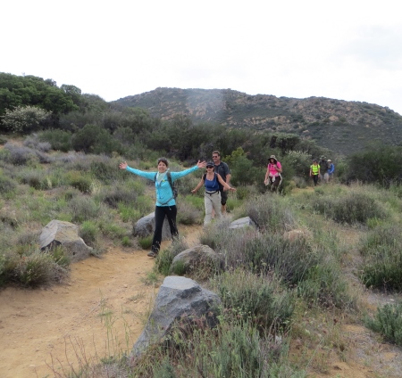
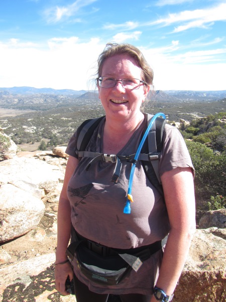
Yup. I’m hot and sweaty. Sign of a good hike. Hell, I’m always hot and sweaty. This is facing east…

highres_431811189 small

And more east…

Nov 23 14 036 small

Facing north…

Nov 23 14 037 small

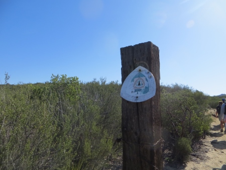
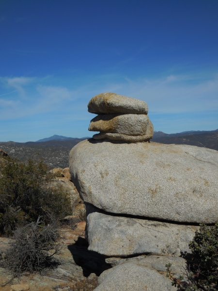
Ah yes, most of the trail was marked by cairns. Or ducks. Depending on your point of view. This is definitely a cairn. Ducks point the way to the trail. Cairns are just markers. There were lots of them, except when there weren’t, which was when you really needed them. When you’re traipsing across a butte that is mostly stone, the trail gets a bit…um…unknowable.

Nov 23 14 038 small

Wish I could tell you what direction this was…

Nov 23 14 043 small

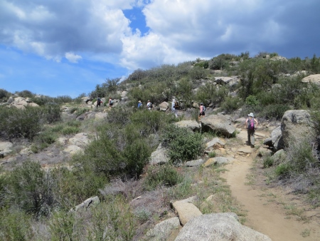
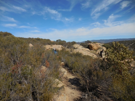
Still heading upwards…

Nov 23 14 045 small

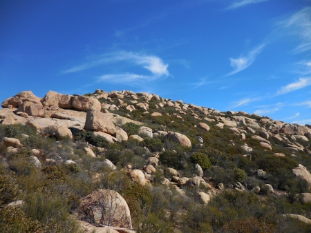
Finally, we hit the butte. You can see it is mostly rock…

Nov 23 14 047 small

And you try to find the way where your boots will actually stick and not slip.

Nov 23 14 049 small

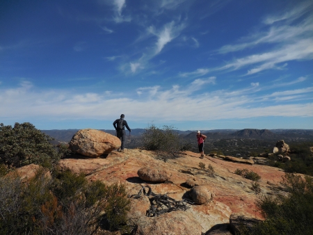
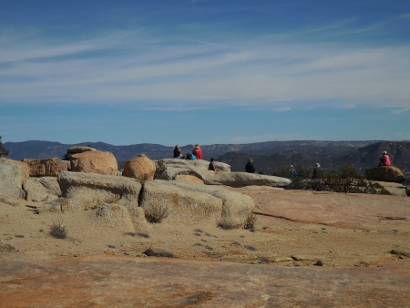
It is rather a large area to wander…

Nov 23 14 055 small

But quite beautiful…peaceful…

Nov 23 14 059 small

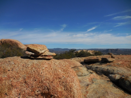
Duck? Or cairn? Hard to say.

Nov 23 14 060 small

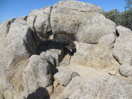
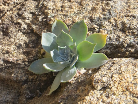
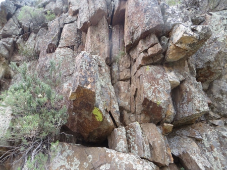
Parts of the butte are definitely ice- and water-worn…

Nov 23 14 062 small

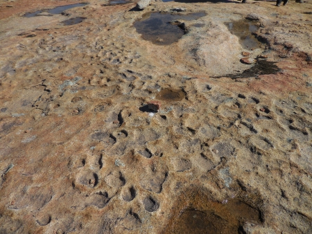
And the rock shapes on top are definitely signs that weather has an effect on rock.

Nov 23 14 064 small

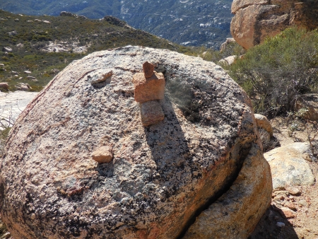
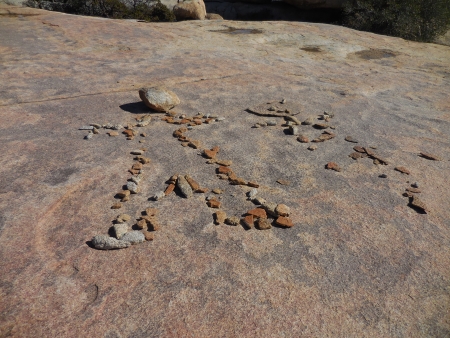
On one of the “tops” (there are apparently three), there are these rocky people. The female is a little discombobulated, but the male is rather obvious.

Nov 23 14 066 small

Not a cairn…that is wind and water that has worn that shape in the rocks, which are all still attached to each other.

Nov 23 14 069 small

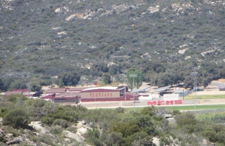
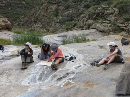
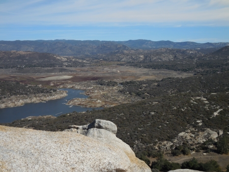
We picnicked at the top, with a view of what’s left of the lake…which used to fill in most of that brown area…

Nov 23 14 070 small

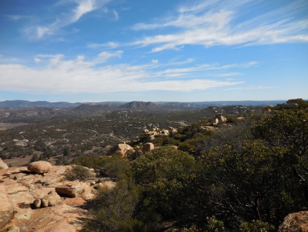
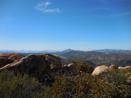
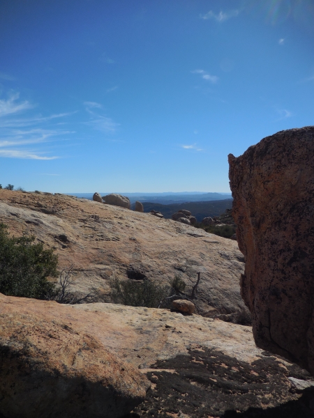
The view to the southeast, quite impressive.

Nov 23 14 073 small

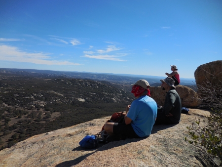
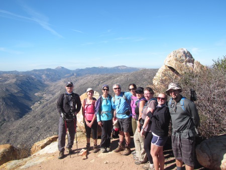
You can see us all sitting out on the edge, looking east.

Nov 23 14 075 small

Then we traipsed all around, looking for a trail to one of the other peaks on the butte…

highres_431793402 small

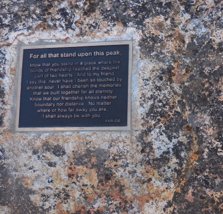
To find this plaque on the West Peak…

Nov 23 14 076 small

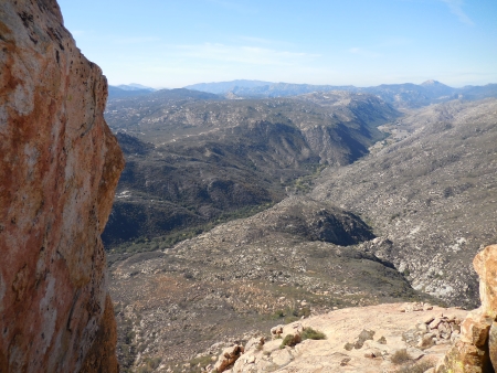
This is the view from the rock with that plaque, Hauser Canyon going west.

Nov 23 14 077 small

We picked up part of the PCT going back, ending up with 9 miles logged. A stop at Descanso Junction for a late lunch was definitely worth it.

highres_431798442 small

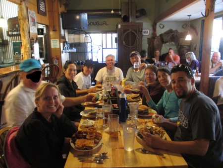
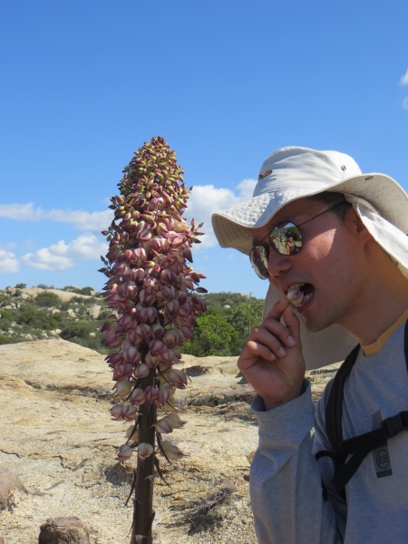
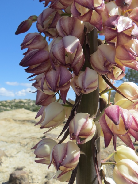
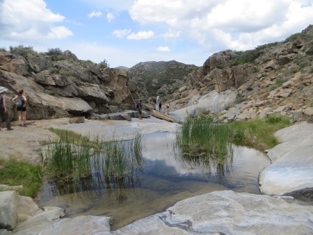
I don’t usually have time for those stops (it ends up being the whole day), but I did because it was the first day of vacation. Good food (awesome burger and draft beer). Yeah, there’s a guy who doesn’t want people to recognize him. Hence the black mask. Whatever. Good times…I want to do this one again. The butte is really kind of a wondrous place, very moonlike, otherworldly. Vernal pools in the rainy season (we had a bit of that, because it had rained on Thursday). Gorgeous views. Definitely worth the time.

PCT Continued: Lake Morena to Kitchen Creek

I’m behind in documenting hikes…a couple of Saturdays back, I hiked the section of the Pacific Crest Trail from Lake Morena to Kitchen Creek, including a side trip to Kitchen Creek Falls. It was about 10.5 miles and took us approximately 5 hours with a couple of stops for lunch and exploring falls.

LakeMorenaPCT small

This hike was beautiful, roaming through a variety of landscapes, from oak-dotted meadows…


Apr 20 14 001 small

That seemed to stretch for miles…

Apr 20 14 003 small

Into the mountains on either side

Apr 20 14 004 small

There were wildflowers everywhere of all types…

Apr 20 14 005 small

Into more desert-like areas…

Apr 20 14 008 small

This section of the PCT is not particularly difficult…

Apr 20 14 011 small

The day was warmish in the beginning…I’m sure it’s a bit hellish in the summer.

Apr 20 14 021 small

We did climb through a few mountainous areas…

Apr 20 14 024 small

Again with the funky flowers…

Apr 20 14 028 small

An arch in the rocks…

Apr 20 14 033 small

And long trails like this…

Apr 20 14 035 small

My first official viewing of a California Horny Toad…

Apr 20 14 036 small

which are really lizards…and lots of yucca in bloom…fascinating plants.

Apr 20 14 039 small

Lots of long vistas with mountains rising in the distance, as we hiked across the valley…

Apr 20 14 040 small

This butterfly landed on the thistle just as I took the photo…

Apr 20 14 042 small

The rock structures in the area were strange at times…

Apr 20 14 045 small

And succulents nestled in rocky cracks

Apr 20 14 051 small

A long stretch of rocky ground…

Apr 20 14 052 small

I think turkey vultures were our only bird visitors…

Apr 20 14 053 small

We were a medium-sized group, about 16 hikers.

Apr 20 14 054 small

Apparently yucca flowers are edible…

Apr 20 14 055 small

They are also beautiful.

Apr 20 14 056 small

This is looking down at the valley from where we came…

Apr 20 14 065 small

We hiked towards Interstate 8, moving north on the trail.

Apr 20 14 066 small

The day was beautiful…and that bridge down there on the left in the middle? I think we go under it at some point.

Apr 20 14 068 small

This section of the trail is fairly well signposted. Here we had traveled 3.5 miles from Lake Morena.

Apr 20 14 069 small

Some signs are less official-looking…

Apr 20 14 070 small

Here’s that bridge from below…

Apr 20 14 071 small

Underneath the bridge, there was some graffiti…this looks like something my students would draw.

Apr 20 14 072 small

The other side was a bit more acceptable PCT graffiti…

Apr 20 14 074 small

We crossed what looked like a dry river bed on the other side…

Apr 20 14 075 small

And another sign showing 2 miles to our lunch spot at Boulder Oaks…

Apr 20 14 076 small

It was in the high 70s that day, maybe a little warmer…

Apr 20 14 078 small

At least at the beginning…

Apr 20 14 079 small

More oaks everywhere…

Apr 20 14 081 small

These trees are older than my parents, I think…

Apr 20 14 082 small

More green meadows…

Apr 20 14 083 small

Some trees had lost their will to stand upright…


Apr 20 14 084 small

I was really tired for this hike; I can only blame jet lag from traveling back to New York (and maybe staying up for 24 hours straight on Thursday).

Apr 20 14 085 small

We stopped at the campground to eat our official lunch.

Apr 20 14 090 small


There were cars parked here…and we saw a lot of runners on the next section of the trail. If you just wanted to go to Kitchen Creek Falls, you could leave from here (not sure of the mileage).

Apr 20 14 092 small

There are gates along the trail…

Apr 20 14 094 small

This section ran next to and then under Interstate 8…

Apr 20 14 095 small

We are finally north of the freeway, heading into the Lagunas…

Apr 20 14 098 small

There’s the 8 going east…

Apr 20 14 099 small

A rosy boa!

Apr 20 14 101 small

I’ve never seen one in the wild…

Apr 20 14 104 small

Manzanita tucked into a rock…

Apr 20 14 107 small

This section got more up into the mountains, but still wasn’t a difficult hike…

Apr 20 14 112 small

We were pretty stretched out here…I had wobbly legs for part of this.

Apr 20 14 115 small

And then the rain cloud started to wander in…

Apr 20 14 117 small

But looking towards the freeway looks more like summer.

Apr 20 14 120 small

Hey! It’s my old school…I used to teach out there…Mountain Empire High School (I actually taught at the middle school, which was on the high-school property and is now closed).

Apr 20 14 121 small

We lined up for a photo…

Apr 20 14 123 small


Here it is from below…

LakeMorenaPCT2 small

Again, that rain cloud is lurking…I think it dropped about 4 drops on us.

Apr 20 14 126 small

It looks ominous, though. We were trying to find the path off to Kitchen Creek Falls on this section…

Apr 20 14 132 small

We actually asked for directions and then headed down a hill…

Apr 20 14 137 small

A slightly steep hill…heading for that section in the middle…

Apr 20 14 138 small

The falls weren’t particularly large, but they were pretty…

Apr 20 14 143 small

A snail…Ken kept finding wildlife for me…

Apr 20 14 145 small

The rocks on the walls surrounding the falls had plants and lichen wedged in between them…

Apr 20 14 149 small

Water bugs…

Apr 20 14 151 small

Exploring the falls…

Apr 20 14 152 small

And some form of squishy freshwater algae (squishiness demonstrated)…

Apr 20 14 155 small

It was a lovely place to hang out for a bit…

Apr 20 14 158 small

Different flowers to what was up on the path…

Apr 20 14 159 small

It had been a while since we’d had rain, so the falls weren’t particularly wild…

Apr 20 14 161 small

But the rocks surrounding the falls area are certainly interesting.

Apr 20 14 162 small

Yes, they are perusing an actual paper map…

Apr 20 14 165 small

This little guy was watching us from up on the hillside…

Apr 20 14 170 small

More rocks and plants…the weather by now had cooled considerably…

Apr 20 14 172 small

Cactus blooming…Southern California is an interesting mix of plant life…

Apr 20 14 174 small

The water colors the rocks.

Apr 20 14 175 small

While some nap…

Apr 20 14 176 small

The light was interesting for the last section of the hike…I think the last section was only 2 miles, but it seemed to go on forever…not because it was boring, but because I was tired.

Apr 20 14 182 small

Somehow I ended up between the speedy hikers and the slow photograph-taking hikers…

Apr 20 14 187 small

It gave me a chance to quietly walk and take photos…note the lime-green lichens…

Apr 20 14 188 small

And to focus on some flowers

Apr 20 14 190 small

Way up in the distance, you can see the speedy hikers. They would occasionally stop and wait for me and make sure the last group was within sight or hearing range, and then they would set off again.

Apr 20 14 195 small

At some point on most hikes, you just want to get done.

Apr 20 14 198 small

Although this was still beautiful.

Apr 20 14 201 small

I had to stop to see the flowers more often…

Apr 20 14 203 small

See? They’re waiting for me again. My legs? Still tired. Couldn’t keep up with them.

Apr 20 14 207 small

There’s more of Kitchen Creek…

Apr 20 14 208 small

And finally! We came out to the end of the trail…this is the group behind me…

Apr 20 14 212 small

And the last group finally making it out.

Apr 20 14 216 small


We were dirty and tired, but it was a good hike. Good weather, beautiful landscape and flowers, not particularly difficult (as long as you’ve had enough sleep, I think). I’ve now done 21.5 miles of the PCT…only 2,628.5 miles to go! Or something like that. We did shuttle cars for this trip so we could hike through the whole section and not double back. The section we’re doing in a couple weeks will be north of this…and I think I’ve already done part of it over 10 years ago, right after the fires went through that area.